One more post on charts and the USS San Francisco grounding. I obtained a copy of chart 81023, the primary chart reported to have been used by the SSN711 Navigation crew, just to see what information it contained.
In my previous post “Anatahan to Guam to Discolored Waters” I had annotated chart 524 (a very large scale chart, which I had at the time) with some additional information such as Latitude and Longitude of some points of reference. On Chart 81023 I have done the same, additionally soundings are in meters so I converted some of the soundings to fathoms using 1.8 meters per fathom. For more accurate conversions between fathoms, meters and feet go here. The infamous 'Discol Waters Rep' is highlighted in the center of the chart section with Lat and Long.
Area of interest on Chart 81023 Modified (Click Image to enlarge)
In the previous post I had made an assumption on the Subs general course by saying.
From what the chart indicates in sounding data (in fathoms) the most reasonable and least obscured transit (in red) would have been west of West Fayu and Satawal islands and east of Lamotrek islands.
In the comments section of that post Bubblehead of "The Stupid Shall Be Punished" blog had pointed out that the course was probably more easterly. Now that I have looked at chart 81023 I agree. My projecting of the course west of Satawal Island was a serious error. Chart 81023 shows shoaling water of only 40 and 15 meters (21 and 8 fathoms) just southwest of Satawal. This sounding data was not on chart 524. A course east of Satawal is a clearer path (green annotation line) to take although it is closer to the discolored waters report area.
Obviously the Sub's Navigation team would not have used chart 524, which is all I had at the time of my previous post , but my error demonstrates that chart selection and the resolution of it's data points are a critical part of voyage planning for a submarine.
Chart 81023 may not have been the only chart in use at the time of the grounding, but here are some observations relating to data points and resolution that may help in understanding the situation.
1) Soundings between West Fayu and Satawal Island are 15 to 20 miles apart.
2) Distance from West Fayu to Satawal is about 48 miles with only a couple of sounding in between.
3) Distance between Lamotrek and Satawal about 40 miles with 5+ sounding in between.
4) Distance between Satawal and discolored waters report is about 25 miles with one sounding point close to Satawal.
5) The nearest sounding point to the discolored waters report is about 10 miles to the east at 1335 meters.
6) There is no sounding data for 20 miles to the west, northwest and 15 miles to the southwest of discolored waters report.
Looking back some would say more caution should have been exercised by the crew, but I'm of the opinion that bad luck and poor data played a major roll in the incident.
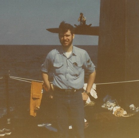
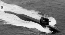
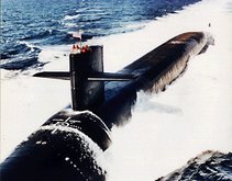
In saving a crippled SSN 711 the CO and crew demonstrated the courage and professionalism that exemplifies wearing US Submarine Dolphins.
The only other thing I will add is:
May god bless U.S. Navy Machinist's Mate 2nd Class(SS) Joseph Allen Ashley
Update 4/22/05 8:30 - The New London Day (registation after today) has additonal information on the Navy's investigation report including the use of chart E2203 and not 81023 as was previously reported.


3 comments:
Thanks for the look at 81023. One thing that jumped out at me was the 712fm and 741fm soundings on either side of your assumed track. It's easy in hind-sight, but the chance these two soundings represent a ridge and not two separate seamounts should have been considered.
I had considered plotting lines of similar soundings across the chart, but seeing how the soundings are about 10 to 20+ miles apart in that area it seemed I’d be pushing my assumptions. Chart 81023 is a general navigation chart, from what I’ve read since this posting the crew was using chart E2203 which contain bottom contour lines which they considered more accurate and was also used by the Subnote planner. Chart 81023 had the Discolored water report on it and chart E2203 did not. From what I understand part of what the Navigation division took the hit on was not transferring the Discol Waters Rep to chart E2203 even though that isn’t where they hit the seamount or escarpment (ridge line).
NavET: Thanks for your comment at my site and I wanted you to know I have stolen -I mean "appropriated"-your chart as an update to my post.
My map would have been accurate if I'd had my old QM gang take a look at it first....
Post a Comment